
Google Earth
FreeVersion 10.57.0.7
4.2(31)2024-07-24
Trusted App
The whole world in the palm of your hand
Previous Versions
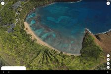
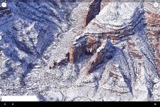
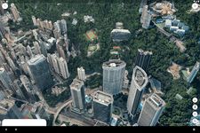
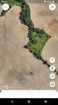
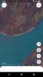
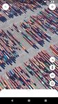
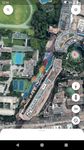
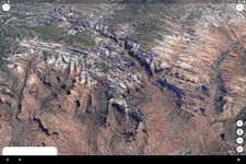
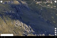
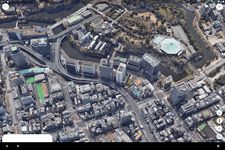
Screenshots
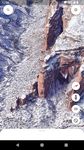
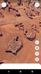
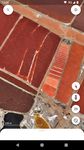
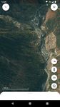
Main features of Google Earth
App description:
Google Earth is a utility in which you can view photos, maps, routes, cities and other places in real time or otherwise.
Functions:
Lets you see images, maps and routes in 3D, find cities, places, homes and businesses and display in real time, earthquakes, city tours and more.
Languages:
English.
Controls:
To move the Earth just touch the device screen with your finger, the pinching movement and rotation with two fingers lets you zoom in and out and rotate the view, and a sliding movement with two fingers lets you tilt the view.
Recommendations:
For those who likes geography and learning about different regions.
Platform:
Android phones and tablets.
Size:
32 MB
Operating System:
Android
Developer:
Price:
Free0
Download options:
APK, Google Play
Developer´s description
App available in other languages
Do you like Google Earth?
9 Votes / 8 Likes
You might also be interested in:
Positive
It offers the same features as the original program.
Responds quickly to the controls.
Landmarks help you find information on the observed area.
3D graphics in high resolution.
Negative
A large application that uses a fairly large amount of memory.
Consumes a significant amount of battery power.
Latest Android NewsView more
Five Must-Have Apps for the Working Photographer
If you've ever wanted to get into photography then it has never been easier than it is right now. Thanks to the advancement of


